Thinking about buying land in Leipers Fork but not sure where to start? You are not alone. Acreage in this corner of Williamson County can be breathtaking, yet every tract is unique and the details matter. In this guide, you will learn how to evaluate land for buildability, utilities, access, zoning, and long-term value so you can buy with confidence. Let’s dive in.
Why buy acreage in Leipers Fork
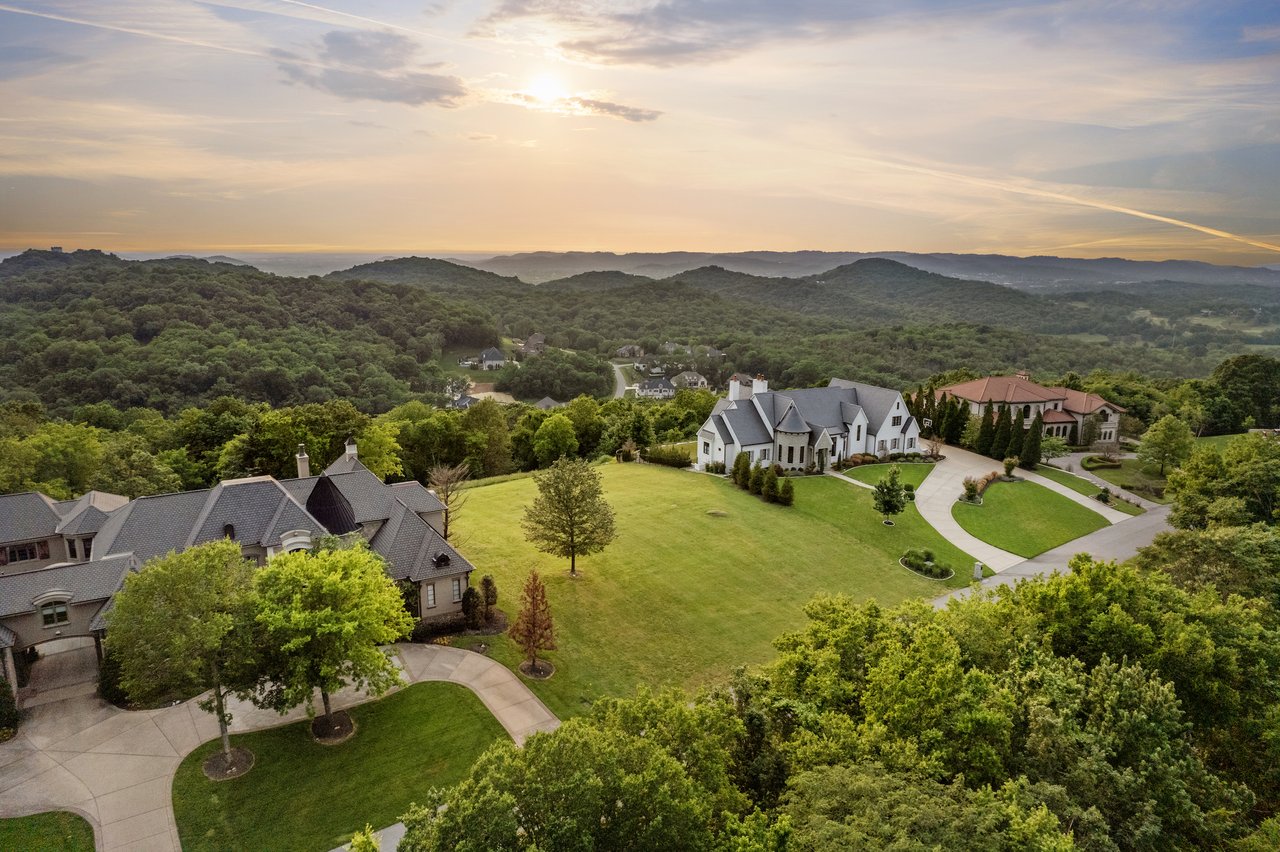
Leipers Fork sits in southeast Williamson County near Franklin and greater Nashville. You get a quiet rural setting with access to amenities and airports. Many buyers come for privacy, recreation, equestrian uses, or a future legacy property.
If you want 5 to 50 or more acres, focus on how the land functions, not just how it looks. Terrain, soils, access, utilities, and county rules will shape what you can build, what it will cost, and how the property will hold value.
Buildable land: what to look for
Topography and usable area
Middle Tennessee has rolling terrain with ridges, hollows, and valley bottoms. That beauty can affect where you can build and what it costs. Slopes over 15 to 20 percent often increase driveway and foundation costs and can limit septic locations. A 20-acre parcel with steep slopes might have only a small flat area for a homesite.
Start by reviewing contour maps and slope percentages for likely building envelopes. Look for gentle areas with good access to a future driveway and room for the house, garage, and outdoor spaces.
Soils, drainage, and septic feasibility
Soils control septic approval, erosion risk, and pasture potential. In this area, soils can be silt loams, cherty clays, or limestone-derived with variable permeability. Use a preliminary soils map as an early filter, then schedule an on-site perc or soil evaluation through the county health department or an approved soil scientist.
If soils are restricted or drain slowly, you may need an engineered solution such as a mound or aerobic system. Costs and timelines can vary, so confirm septic feasibility before you release contingencies.
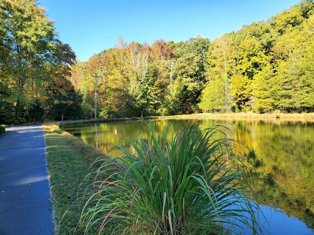
Streams, ponds, wetlands, and floodplains
Many Leipers Fork tracts include streams or riparian corridors. Wetlands and perennial streams may be regulated by state and federal agencies. That can reduce buildable area and affect permits for crossings or culverts. Valley bottoms can also sit within mapped flood zones. Check flood status early and plan building setbacks to protect structures and water quality.
If you see signs of wetlands or multiple seeps, consider a formal delineation. This step helps you place driveways, utilities, and buildings in the right locations.
Karst and sinkhole awareness
Parts of Middle Tennessee sit over limestone and karst. Sinkholes, shallow bedrock, or irregular drainage can occur. If you notice soil depressions, seeps, or a known sinkhole history, ask for a geotechnical or subsurface evaluation before closing.
Timber, pasture, and habitat
Existing timber may have value, but it brings management duties during any harvest. Pasture quality depends on soil and drainage. Many buyers convert woods to pasture, which can require clearing, grading, and erosion controls. If you plan to keep livestock or hay fields, budget for land preparation and long-term maintenance.
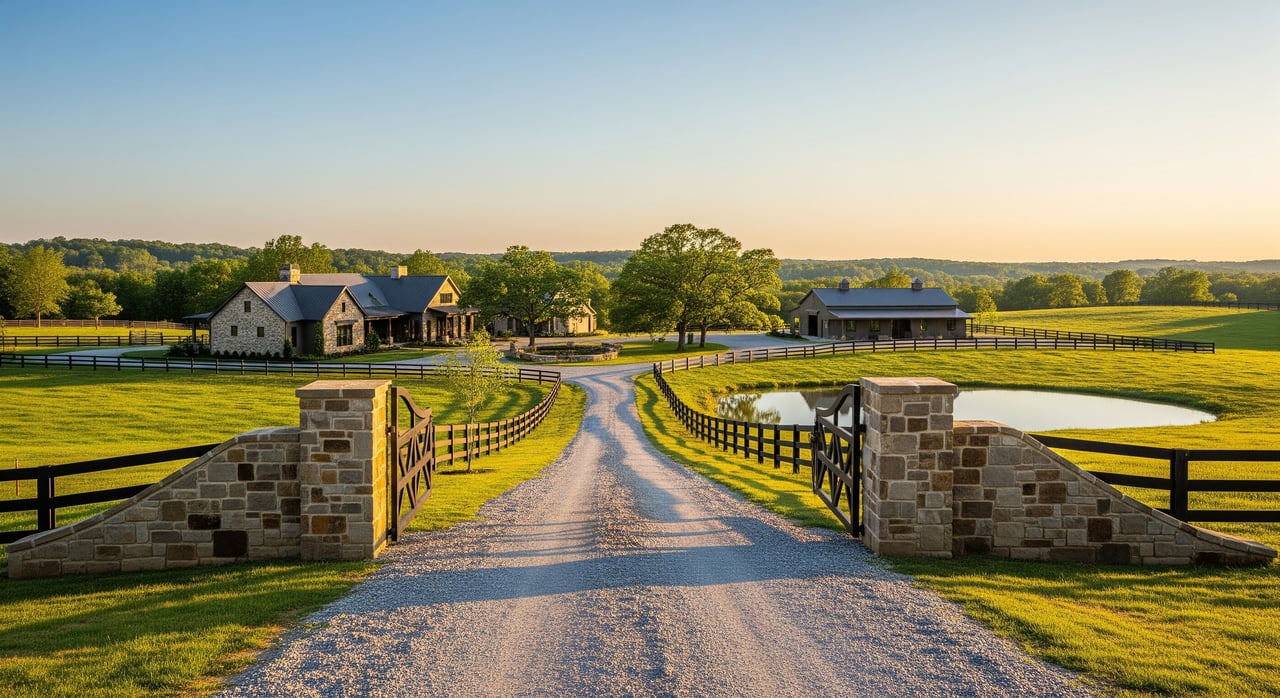
Access and driveway considerations
Public road, private road, or easement
Confirm how you reach the property. Around Leipers Fork, some county roads are narrow or unpaved. Private roads place maintenance on owners and may require a road maintenance agreement. If access is via easement rather than frontage, review the recorded document for width, use, maintenance terms, and whether it is perpetual.
Driveway permits and safety
Connecting to a public road usually requires a driveway permit. Counties can set standards for slope, culverts, sight distance, and drainage. Long or steep driveways increase costs and affect emergency access and even insurance. Walk the likely route and estimate grading, gravel, and drainage needs.
Utility easements on site
Utility corridors may cross a property. These easements restrict building and tree removal within the corridor. Make sure the site plan respects those setbacks.
Utilities and connectivity
Water: wells or municipal
Many rural tracts in Leipers Fork rely on private wells. If a well exists, request a yield and water quality test for bacteria, nitrates, and hardness. If not, review local well logs and consult drillers on typical depth and cost. Some groundwater requires filtration or treatment, which you can plan during design.
Wastewater: septic systems and permits
Expect to use a septic system. The county environmental health office manages permits and requires a soil evaluation. Small or sensitive areas, or parcels with poor soils, may need engineered systems, which add cost and time. Verify the number of bedrooms supported by the soils so your house plan aligns with the approved system.
Power, gas, and propane
Electric service is available through local utilities, but the cost to extend lines can be significant over long distances. Confirm the nearest service point and any extension fees. Natural gas is uncommon on rural acreage in this area. Many owners use propane for heating and cooking, so plan for a tank location and delivery access.
Internet and cell coverage
Rural broadband can vary by road and ridge. Check fixed providers and also test LTE or 5G options on site. If you plan to work from home, confirm real-world speeds and reliability. Satellite can be a fallback in some hollows, but performance can vary.
Rules, zoning, taxes, and permits
Williamson County zoning and use
Leipers Fork is in Williamson County. Zoning and subdivision rules govern permitted uses, minimum lot sizes, and setbacks. If you plan agricultural uses or future division, confirm the zoning classification and any special provisions before you go under contract.
Building, septic, and driveway approvals
Building permits, septic permits, and driveway permits are separate. Approvals may require surveys, engineered plans, and soils reports. Timelines can vary, so factor permit steps into your purchase and construction schedule.
Property taxes and use-based programs
Tennessee allows certain agricultural or forest land use assessments that can lower taxes if you meet acreage and management criteria. Rules are local. Contact the county assessor for eligibility and application deadlines.
Conservation easements and deed restrictions
Some rural properties carry conservation easements that restrict subdivision or development in perpetuity. Deed restrictions and neighborhood covenants can also limit structures, livestock, or commercial uses. Review title documents early. Easements can lower market price while offering tax benefits for qualifying owners.
Environmental permitting
Projects that affect wetlands or streams may require approvals from state and federal agencies. Larger grading or land disturbance can trigger county stormwater and erosion control permits. Forestry and timber activities often need Best Management Practices to protect water quality.
Market value drivers to understand
Acreage pricing in Williamson County varies within short distances. Several factors tend to move value:
- Proximity to Franklin and commute time to Nashville. Closer tracts often command premiums.
- Usable or buildable acreage versus total acreage. Gentle slopes and septic-friendly soils carry weight.
- Road access and utilities. Parcels with public frontage and utilities in place are more valuable.
- Scenic attributes. Views, privacy, ponds, streams, and attractive timber can add value.
- Zoning and subdivision potential. Tracts that allow further division or specific uses can draw investor interest.
If you want a clear value range, use recent acreage sales in Williamson County and nearby areas that match in size, access, slope, and improvements. Rural comps are fewer than residential lots, so work with a local land specialist who understands adjustments for slope, utilities, and septic potential.
Your due-diligence playbook
Follow a simple sequence that protects your investment and saves time:
Step 1: Initial screening before offers
- Review contour and slope maps to locate likely building sites.
- Pull a preliminary soils map to gauge septic potential.
- Check floodplain maps for any valley bottoms or creek corridors.
- Note visible streams, ponds, seeps, or wet areas for possible delineation.
- Confirm access type and status. Note any recorded easements.
Step 2: In-contract technical checks
- Order a current boundary survey. Map building envelopes, setbacks, and easements.
- Schedule a county-approved perc or soil evaluation. Confirm bedroom capacity.
- Test existing wells for yield and water quality. If no well, consult drillers on depth and cost.
- Verify electric service location, extension costs, and internet or cell options.
- Walk the driveway route. Estimate grading, culverts, and sight distance.
- Complete a title search for easements, deed restrictions, and mineral rights.
- If streams or seeps are present, consider a wetlands or stream delineation.
- For steep slopes, karst, or timber, consult relevant specialists.
Step 3: Permit planning and closing
- Confirm zoning, permitted uses, and any subdivision rules with the county.
- Prepare building, septic, and driveway permit submittals based on the survey and soils data.
- Check whether your management plans could qualify for agricultural or forest land valuation.
- Align your construction schedule with permit timelines and seasonal access.
Stewardship and cost-share opportunities
Good land management protects value. Consider a forest management plan for timber health and habitat. Maintain pastures and install erosion controls on slopes and along streams. Conservation planning can balance recreation, timber, and water quality.
You may be eligible for cost-share or technical support through programs run by federal or state agencies. These can help with pasture improvement, riparian buffers, and erosion control. Enrollment usually requires a management plan and time commitments, so plan ahead.
How a local land specialist helps
Acreage deals are different from neighborhood lots. You need clear answers on soils, utilities, access, and zoning before you commit. A team with land expertise can coordinate soil scientists, surveyors, drillers, and utilities, and can source the right comps for your specific tract. That saves you time and reduces risk.
If you are considering acreage in Leipers Fork, a private consultation can help you focus on parcels that match your goals and cut through guesswork on buildability and permits.
Ready to explore acreage with confidence? Connect with Lisa Jurney Walker to schedule a Private Consultation.
FAQs
How many acres do I need for a home in Leipers Fork?
- It depends on your plans. Many lifestyle buyers find 5 to 10 acres works for a home, privacy, and light pasture, while hobby farming often starts near 20 acres or more. Usable land matters more than total size.
Will I need a well and septic on rural acreage near Leipers Fork?
- Most rural tracts rely on a private well and an on-site septic system. Always make well and septic testing part of your contingencies so you can verify water quality, yield, and bedroom capacity.
Can I subdivide a Leipers Fork property later?
- Possibly, but subdivision depends on county zoning, minimum lot sizes, road access, septic feasibility, and recorded restrictions. Conservation easements often prohibit subdivision.
What are the hidden costs when developing acreage?
- Common extras include electric line extensions, driveway and culvert construction, engineered septic, tree clearing, erosion control, grading, and long-term private road maintenance.
How do streams, wetlands, or floodplains affect where I can build?
- They can limit buildable areas and trigger permits for crossings or fill. Plan larger setbacks, consider delineations, and verify flood status before finalizing a site plan.
What affects acreage pricing around Franklin and Leipers Fork?
- Proximity to Franklin and commute time to Nashville, the amount of usable or buildable acreage, access and utilities, scenic features, and any subdivision potential are key pricing drivers.